


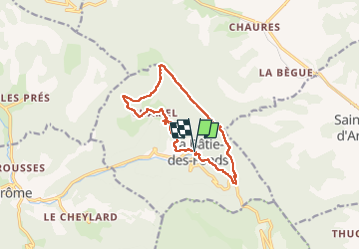

25 km | 41 km-effort

Benutzer


Kostenlosegpshiking-Anwendung
 SityTrail
IGN / Geografische Institute
SityTrail World
Die Welt öffnet sich für Sie
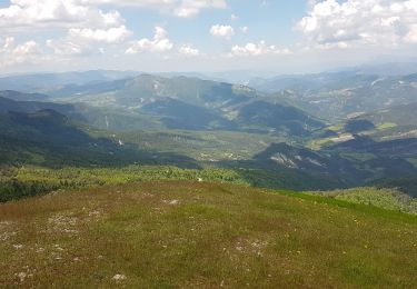
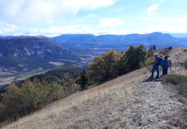
Tour Wandern von 12,5 km verfügbar auf Auvergne-Rhone-Alpen, Drôme, La Bâtie-des-Fonds. Diese Tour wird von PapouBertrand vorgeschlagen.
Randonnée au départ des sources de la Drôme, début d'itinéraire très peu fréquenté et pas entretenu.


Mountainbike

Mountainbike

Wandern
Wandern
Wandern
Wandern
Wandern

Mountainbike
Wandern